
WestJet announces its 2024/2025 Winter Season
WestJet’s second winter season on Bonaire Recently, WestJet announced the launch of a second season from Toronto to Bonaire following the success of...
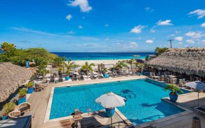
Experience a Memorable Vacation at Bloozz Resort Bonaire
Create unforgettable memories at Bloozz Resort Bonaire. Are you in the midst of planning your next vacation to Bonaire? Bloozz Resort Bonaire is...
Unlock Your Creativity with Glass Fusing Workshops at MoltenWolf Glass
Experience Glass Fusing Workshops at MoltenWolf Glass MoltenWolf Glass is dedicated to spreading their love for art through various avenues,...
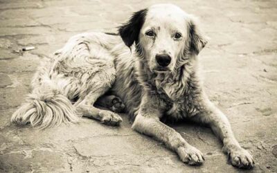
Animal Welfare Working Group Launched
A new working group focuses on the welfare of animals. The Public Body of Bonaire (OLB) has a new working group focused on the welfare of animals on...
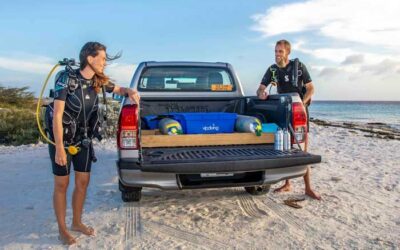
Discover Bonaire’s coral reefs with 123 Car Rental and VIP Diving!
123 Car Rental and VIP Diving join forces. Are you ready for the dive vacation of a lifetime? 123 Car Rental and VIP Diving have teamed up to offer...
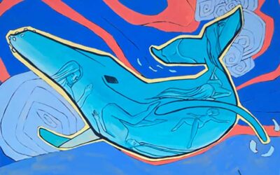
Sharking Daily Featured at MoltenWolf Glass’s POP-UP ART Gallery
MoltenWolf Glass hosts its 2nd POP-UP ART Gallery of 2024. Mark your calendars! On Saturday, April 6th, art lovers on Bonaire are in for an exciting...